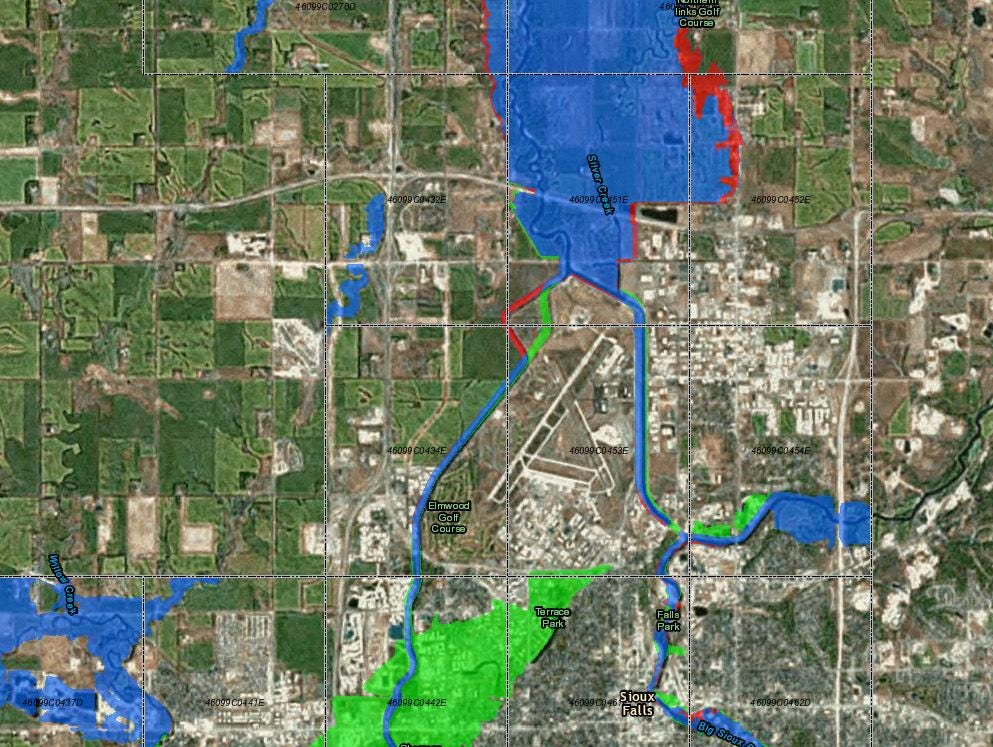
These non-regulatory tools are called Flood Risk Products. With these new and updated maps, communities can make floodplain management decisions based on the best available scientific information.įEMA is working with local community officials to produce additional data and hazard mitigation tools that will enable more strategic emergency preparedness, planning and risk reduction in coastal communities. Through Risk Mapping, Assessment and Planning (Risk MAP) , FEMA is updating the nation’s coastal Flood Insurance Studies (FIS) and Flood Insurance Rate Maps (FIRMs, or flood maps), where appropriate, and publishing new flood maps of densely populated areas that were not previously mapped. To help coastal communities understand and reduce their risks, FEMA has initiated coastal flood hazard studies for 100% of the populated coastline.